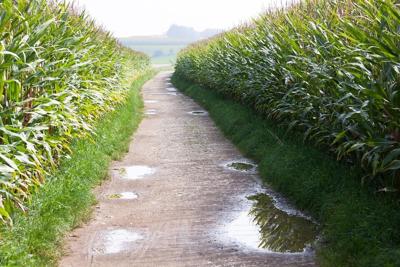


WABASH VALLEY (WTHI) - Much-needed rain fell across the Wabash Valley late in the week, though it wasn't enough to erase deficits from June.
A stationary front resulted in multiple waves of showers and thunderstorms from Wednesday, July 6 through Friday, July 8, some of which prompted severe thunderstorm and flash flood warnings.
Here is a list of rain totals from Wabash Valley communities. Some totals span from 7 a.m. Wednesday to 7 a.m. Saturday.
ILLINOIS:
- Beecher City: 3.26"
- Casey: 3.70"
- Charleston: 3.18"
- Chrisman: 1.53"
- Clay City: 2.29"
- Coles Co. Airport: 2.58"
- Crawford Co. Airport: 1.29"
- Effingham: 3.97"
- Lawrenceville: 1.27"
- Marshall: 1.69"
- Newton: 3.16"
- Olney: 2.21"
- Palestine: 1.43"
- Paris: 2.46"
- Watson: 1.18"
- Yale: 3.06"
INDIANA:
- Bloomfield (4.5 mi ENE): 2.56"
- Bloomfield (5 mi ESE): 3.37"
- Cloverdale: 1.13"
- Hymera: 2.57"
- Rockville: 1.38"
- Terre Haute (2 mi E): 1.83"
- Terre Haute (6 mi ESE): 1.75"
- Terre Haute (6.5 mi N): 1.44"
- Terre Haute (WTHI): 1.86"
- Washington (1.5 mi NW): 2.38"
- Washington (3 mi SE): 2.59"
While the rain was certainly beneficial, it wasn't enough to erase the deficits that were established in many locations during the month of June. The Climate Prediction Center's 8-14-Day Outlook favors below average precipitation across the two-state region, so drought will remain a concern for the summer.
You can see the latest Drought Monitor report here. An update will be released Thursday.